
How deep are the peatlands at Ørskogsfjellet?
One of the principle aims of work package 1 — about peatland carbon stock estimation — is to find out how we might improve maps of peat depth at the landscape (10-100 km2) scale. In the best available database with national coverage in Norway, peat depth is recorded in only two depth classes (less than or greater than 1 m) and without spatial variation within peatland polygons. These recorded depths originate from sparse, historical field measurements, and many peatland polygons are without any recorded depth class. To better manage peatland carbon stocks through areal planning, we need better maps of peat depth at landscape scales.
A promising way to scaling up relatively few measurements of peat depth is through digital soil mapping. This burgeoning field of soil science takes advantage of the growing pool of remotely sensed spatial data and advanced modeling techniques to find quantitative relationships between soil properties of interest and other mapped variables. Through digital soil mapping, we may be able to get wall-to-wall maps of peat depth at high resolution, from relatively few field measurements. The key to success is finding mapped variables that have a sufficiently strong relationship to peat depth.
Based on previous studies and our knowledge of peatland geomorphology, there are at least two classes of remotely sensed variables that may tell us a lot about peat depth. The first is the topography of the landscape, especially the slope of a given area — steeper slopes drain faster and reduce the rate of peat formation. The second is the surface-level radioactivity across the landscape — thicker peat absorbs more of the natural radioactivity from the bedrock underneath it.
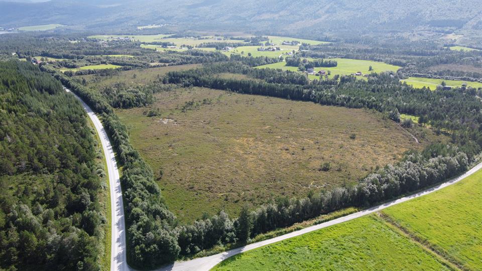 A peatland area neighbored by forestry plantations and cultivated grassland. Photo: Sigurd D. Nerhus
As part of work package 1, we are testing how well remotely sensed variables predict peat depth in a ~150 km2 study area around Ørskogsfjellet in Møre og Romsdal County, western Norway. Crucially, we have maps of the aforementioned topographic and radiometric variables for this area. To get the necessary measurements of peat depth, we arranged a field campaign in August 2023. We measured peat depth at 160 locations, selected on the basis of variation in topography and radioactivity to optimize the digital soil mapping. We also took additional measurements beyond the 160, which can be used to critically evaluate the accuracy of the method. Both manual probing and ground penetrating radar were used to create a robust dataset for piloting this method. We hope our efforts will help spur new, cost-effective and accurate ways of mapping peatland properties in Norway.
My sincere gratitude to colleagues Sigurd D. Nerhus, Karl-Kristian Muggerud, and Knut Rydgren, for their hard work in the field!
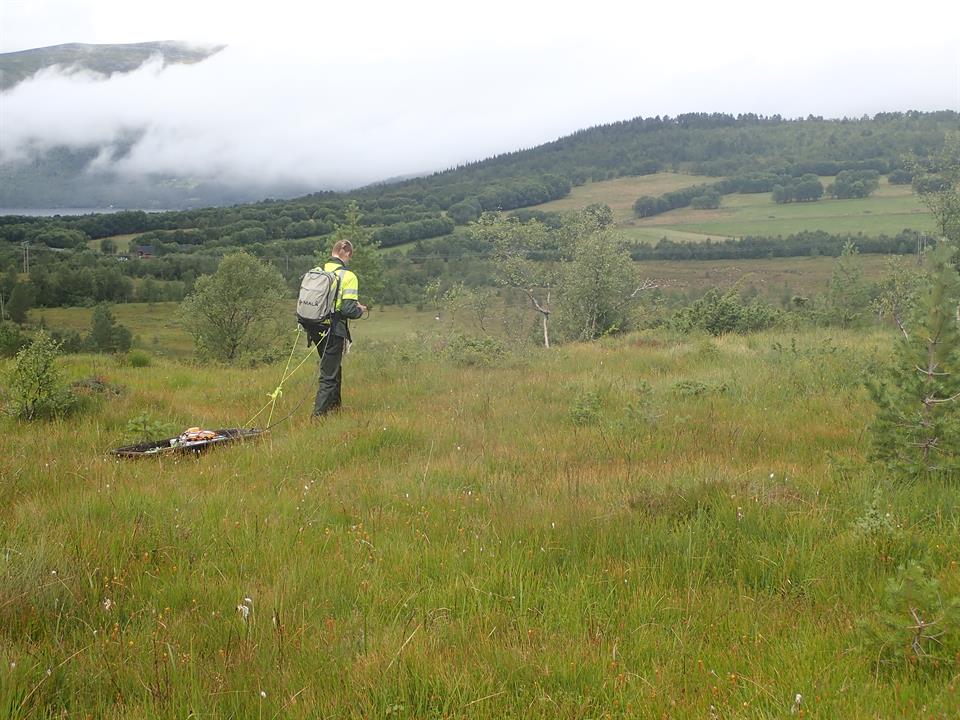 Julien Vollering monitors the signal from ground-penetrating radar along a transect. Photo: Knut Rydgren